Rivendale Caravan and Leisure Park, Alsop-en-le-Dale, Derbyshire
Friday 10th – Monday 13th July 2015
Our week in the Dales started in glorious sunshine. We knew we were in for another long journey like our last trip to North Norfolk, so we stocked up with car sweets and a picnic. It was 165 miles, and it took about 4 and a half hours including a stop off at Warwick services. It’s a shame that motorway services don’t cater a bit better to the caravanning fraternity, you’re often slotted next to the articulated lorries among the rubbish and diesel fumes.
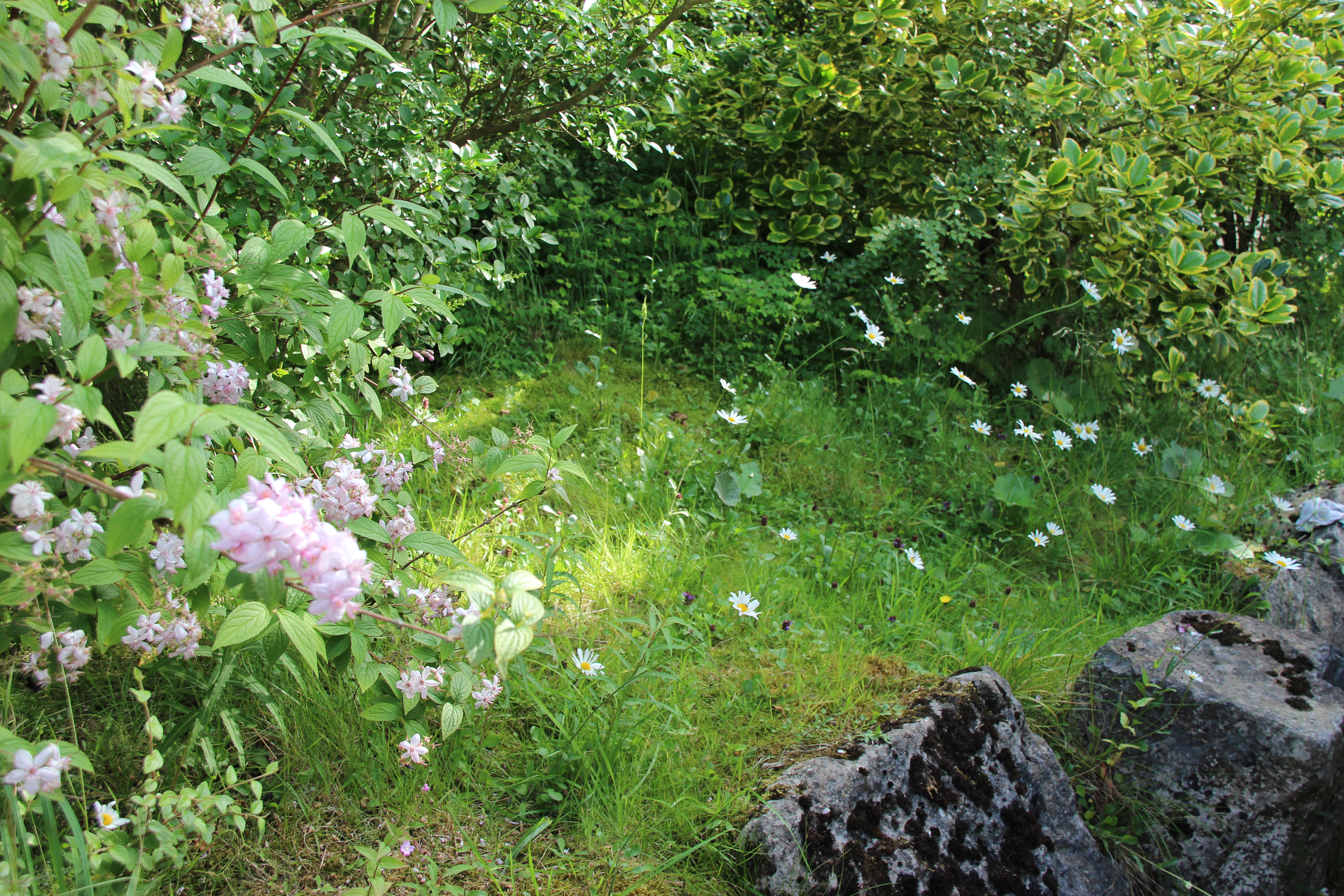
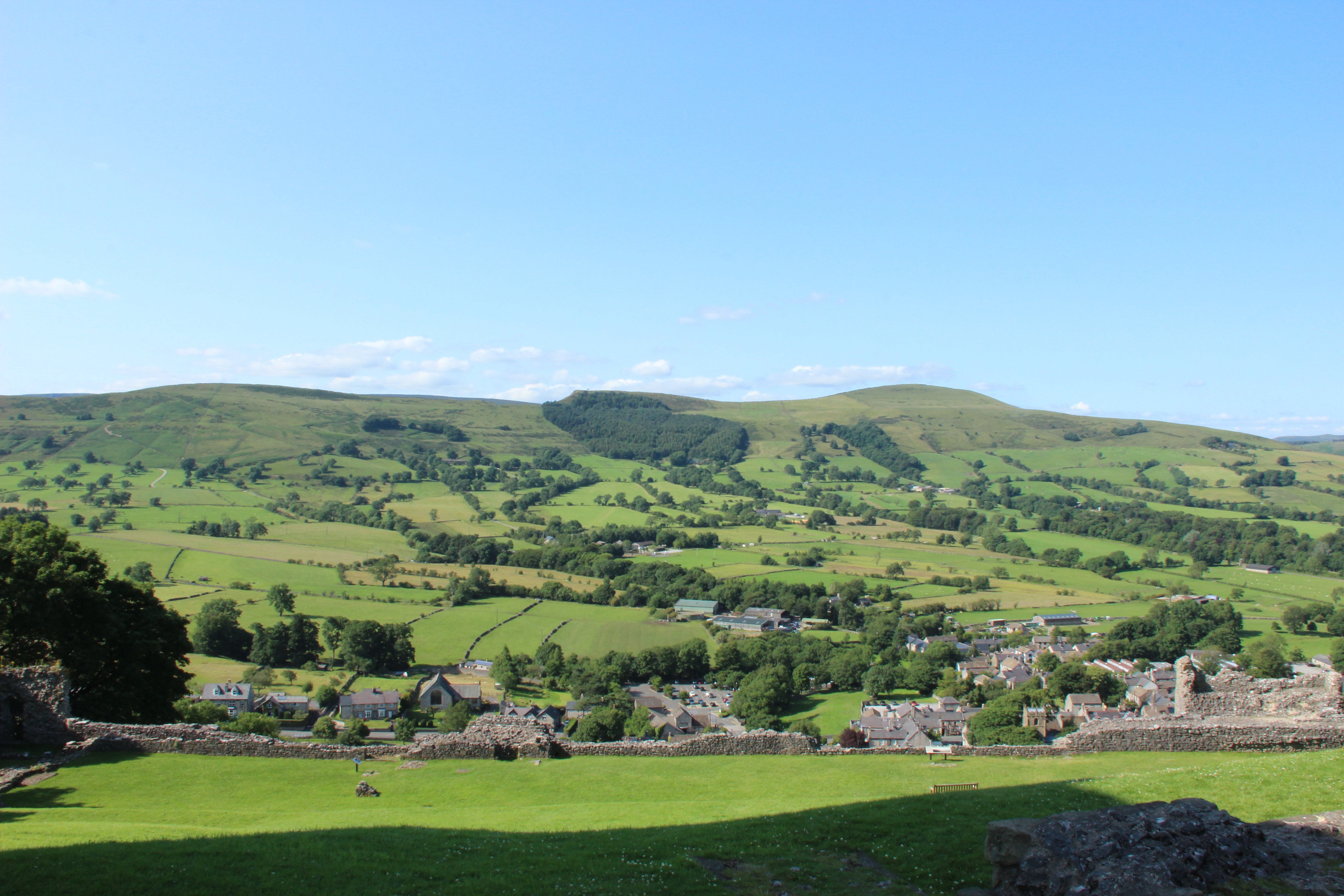
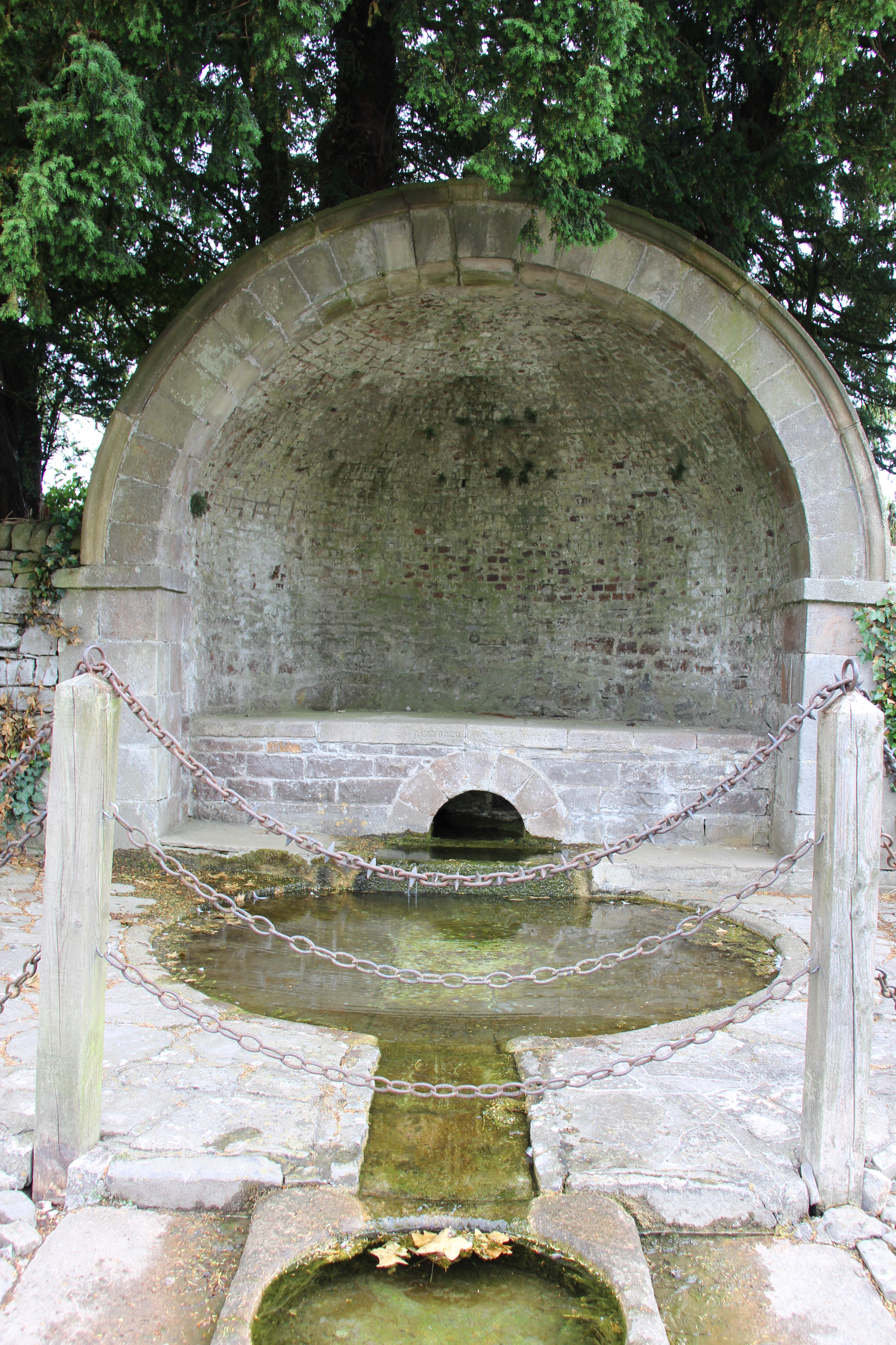
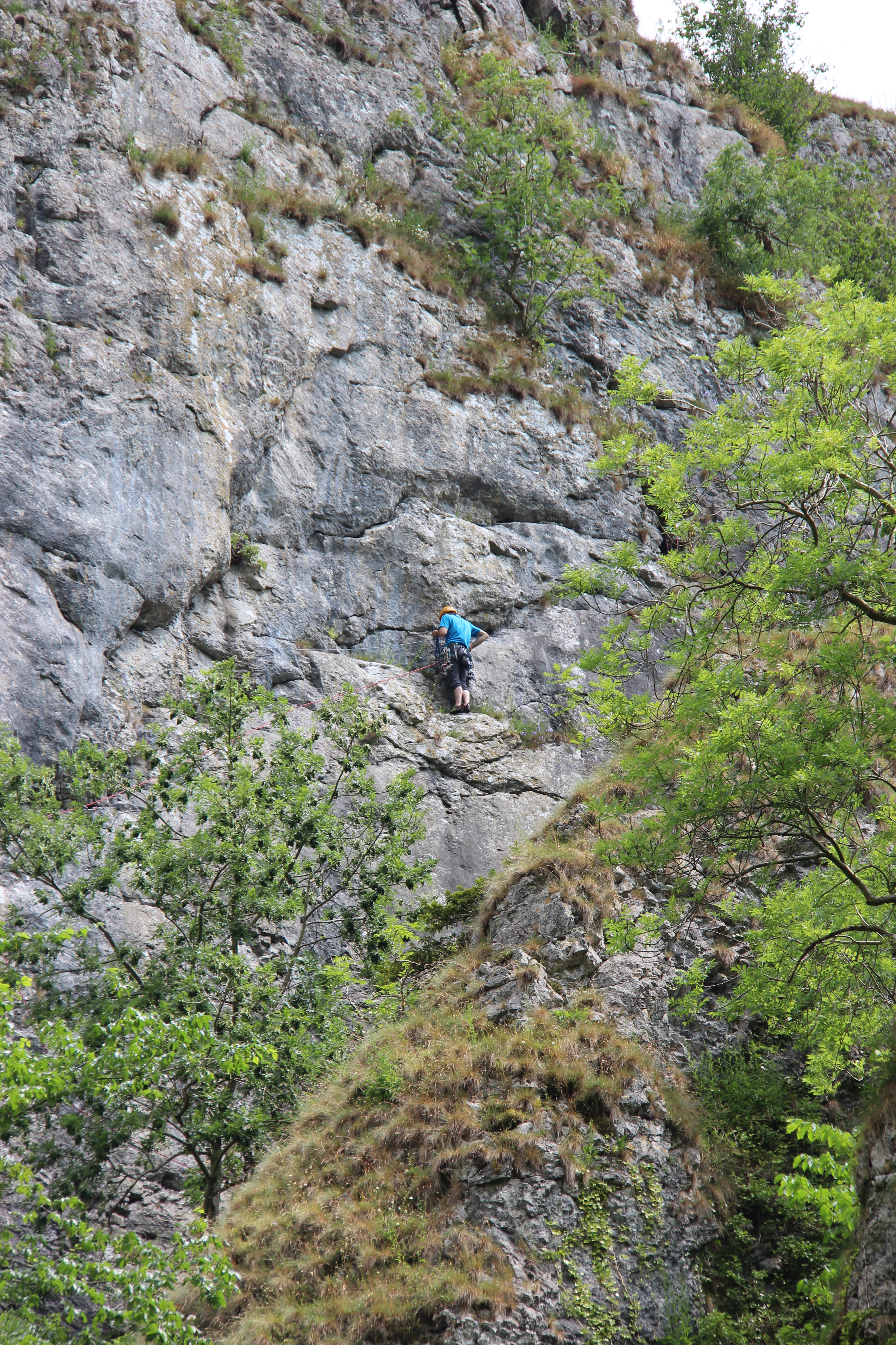
Our first site was run by the Camping and Caravaning club and boasts an elevated position in an old disused quarry. The backdrop to our pitch was a steeply chiselled dry stone cliff and the site was sheltered and teeming with birds and wild flowers. There were holiday homes and tents as well as touring caravans, and we were allocated a snug pitch between high hedges abundant with wild daisies scrambling over the granite rock.
After setting up camp we enjoyed the relatively novel experience of sitting in the evening sunshine with a cup of tea for me and a lager for the Man, before a walk around the site with the Dog. It was even good enough for a BBQ!
Saturday 11th July
Not surprisingly we had both woken briefly overnight with the sound of rain on the roof, but by morning it had all blown over and the weather was fine again.
Today’s plan was a visit to Ashbourne and the famous market and then off to tackle the Tissington trail.
But first our morning ablutions – and I was not impressed. We’ve become discerning critics of site facilities and have been rather spoilt by the Caravan Club premier site standards. The showers were cramped and a bit grubby, with nowhere to put anything and I chose the wrong cubicle at the end which had everyone’s shower water sluicing through into my drain. Not pleasant. To add insult to injury the hairdryers could only be used with tokens purchased from reception….
It was market day in Ashbourne so the streets were busy with traffic and bustling with pedestrians. The town looked very quaint with bunting strewn across the streets and the narrow streets and alleyways revealed fascinating little shops and coffee houses. The world famous market was a bit disappointing, but we found a couple of hours of entertainment wandering around sampling the coffee and the odd pint.
Our next stop was Tissington, a small village between Ashbourne and our site at Alsop-en-le-Dale. Famous for Tissington Hall, well dressing and the Tissington Trail.
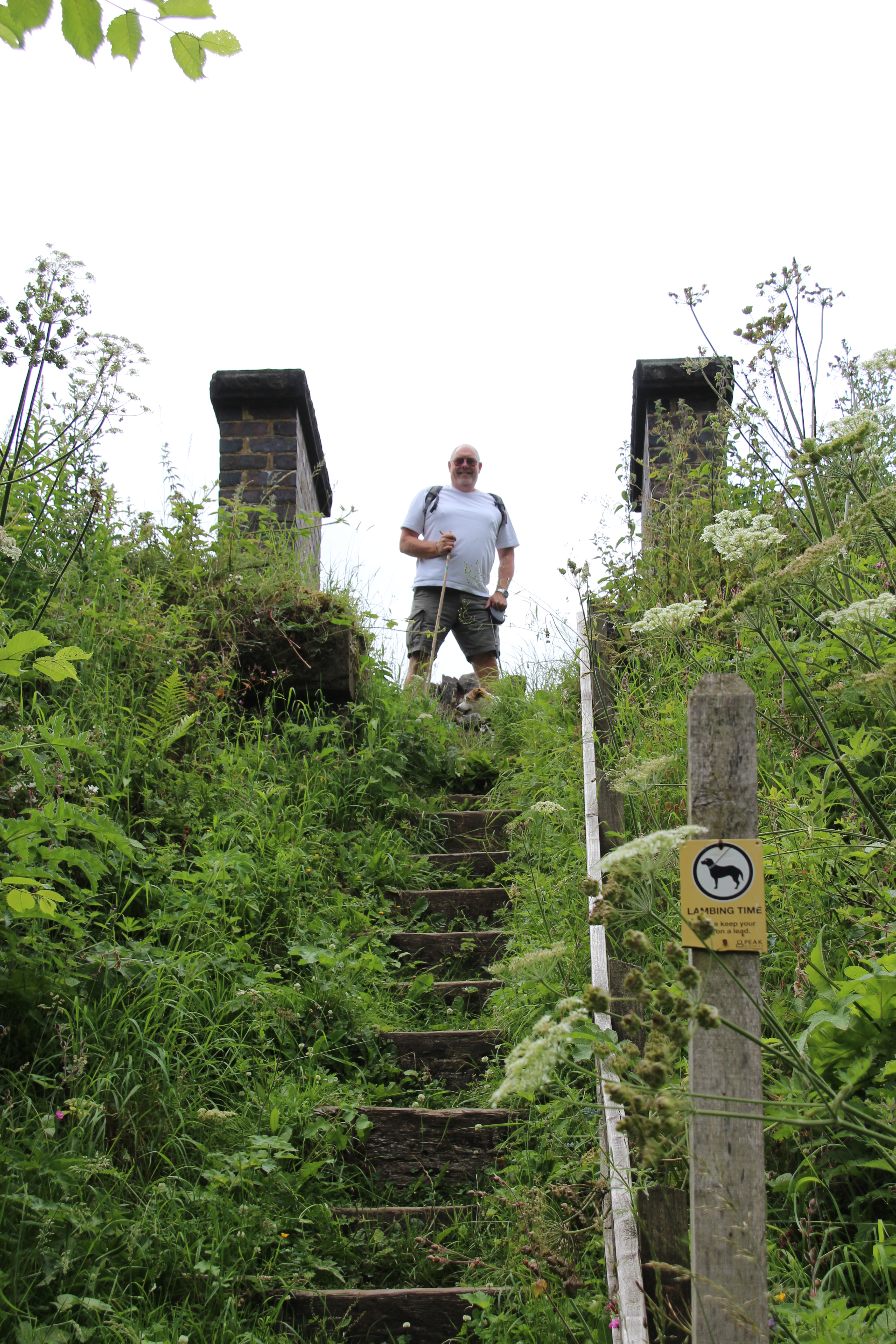
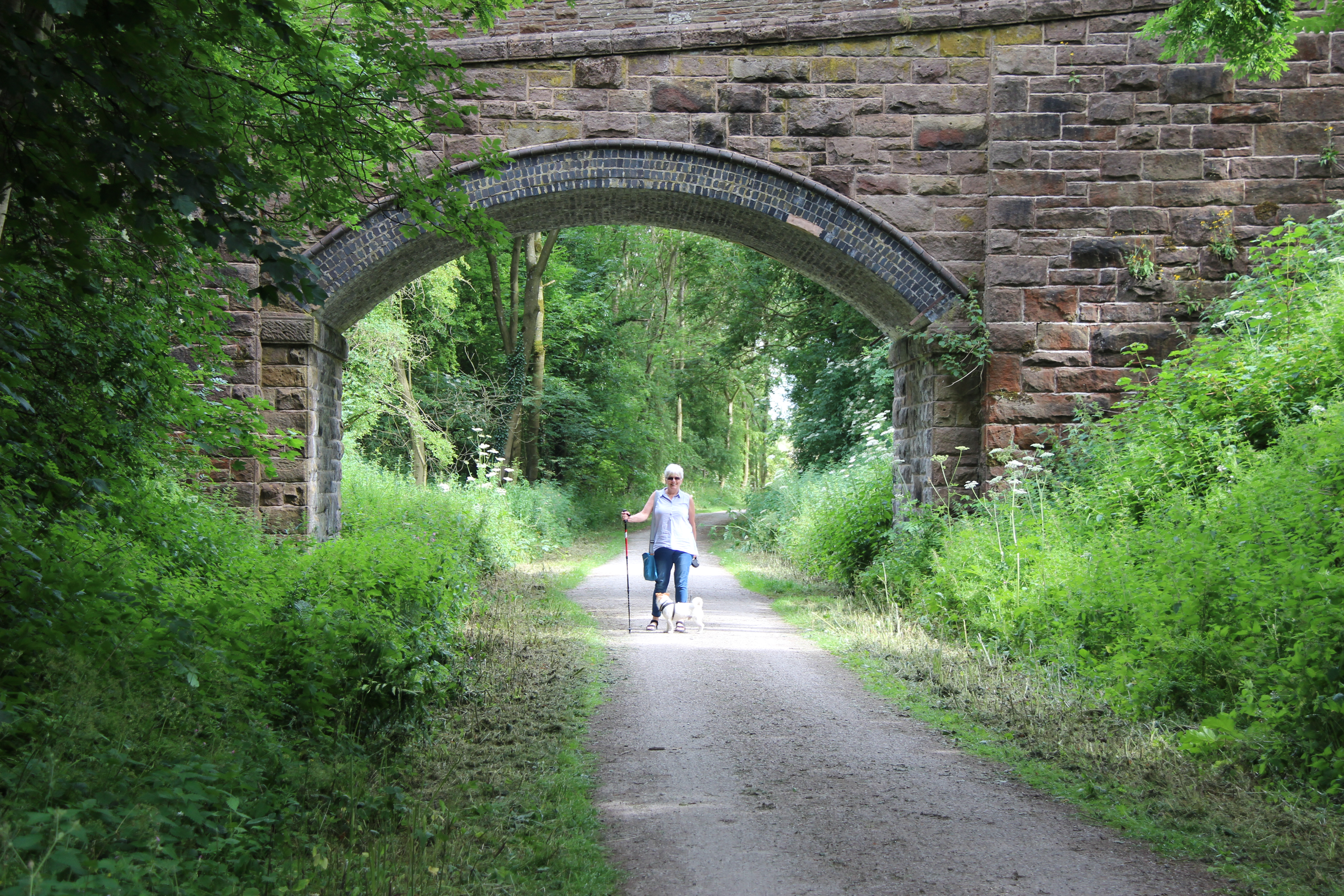
The Tissington Trail runs along a 13 mile route from Ashbourne to Parsley Hay. At this point it joins up with the High Peak Trail, which runs from High Peak Junction to Dowlow near to Buxton. Surrounded by beautiful countryside the traffic-free trail it makes for a lovely walk, as long as you keep your wits about you to get out of the way of the cyclists! The trail was originally the trackbed of the Buxton to Ashbourne railway line, built by the LNWR and opened in 1899. In its heyday, it carried express trains from Manchester to London and until after the Second World War a daily train delivered milk from Peak District farms to Finsbury Park, London.
Following the closure of the line in the 1960s, it was decided to remove the trackbed and turn the line into a trail for the benefit of walkers, cyclists and horse riders. This experimental scheme was one of the first of its type in the country. It has been great success, since opening to the public in June 1971. Large numbers of people are attracted at weekends throughout the year and every day during peak holiday periods (http://www.derbyshire-peakdistrict.co.uk/).
We set off on the Tissington trail, from the car park. We took the trail along a public footway and ended up crossing a large field with a lot of cows and sheep. The Man was highly amused with my caution towards the cows but I know how dangerous they can be, especially when you have a dog with you! So we made quick progress and ended up a bit earlier than planned but safe in the village at Herbert’s tearooms, with a local school band playing popular songs while we had a drink and some cake. We then set off to finish the trail (more cows) with very pleasant views across the rolling Derbyshire countryside and a peaceful 3 mile walk back the car – albeit dodging the cyclists sharing the trail with us.
Sunday 12th July
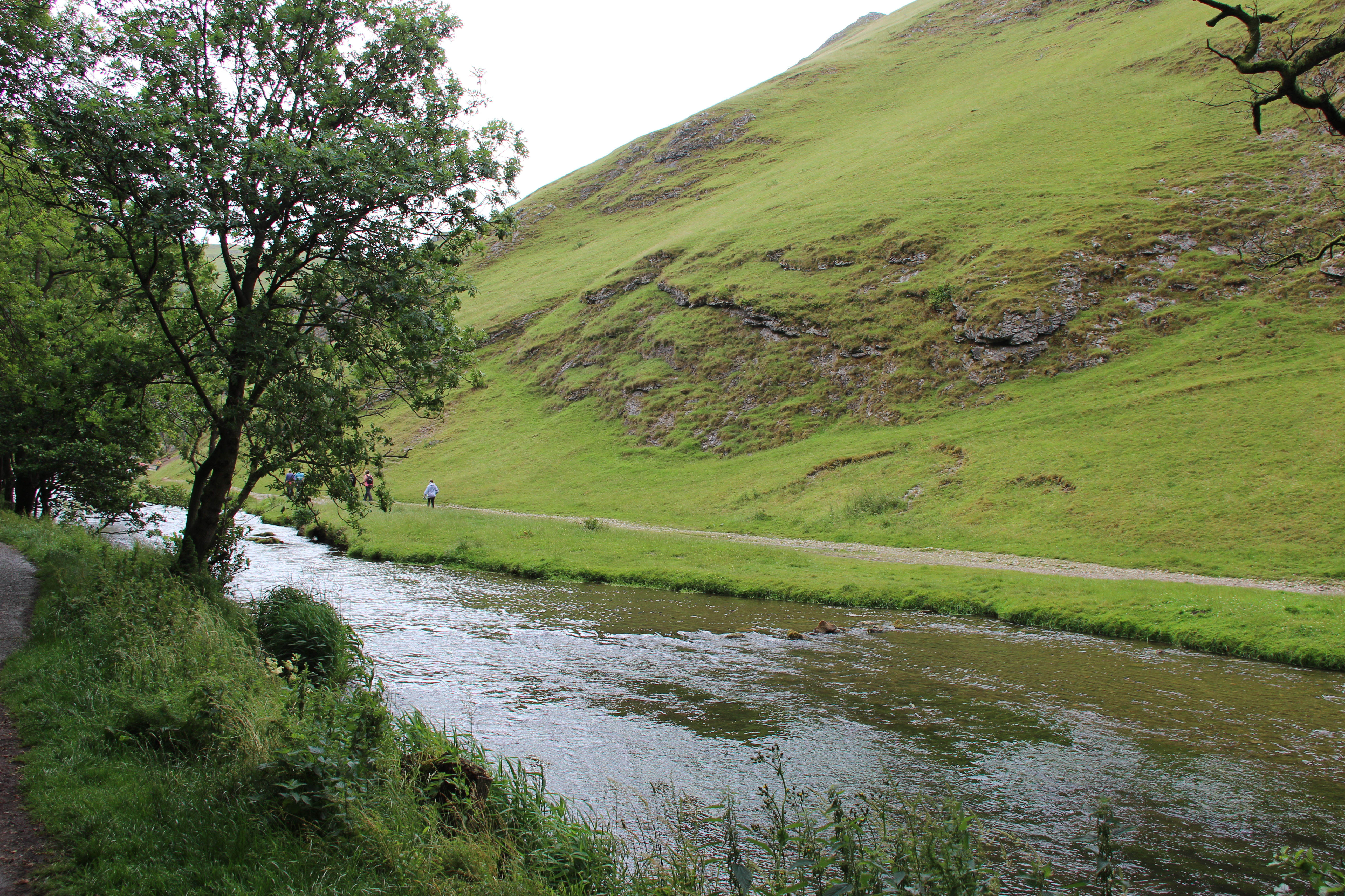
Another day threatened by rain but it actually held off and at times we got quite hot in the sun. Today we had decided to visit Dovedale which everyone says is beautiful, but there seemed to be very little information about it and we found the ‘entrance’ more by luck than judgement.
The limestone rock that forms the geology of Dovedale is the fossilised remains of sea creatures that lived in a shallow sea over the area during the Carboniferous period, about 350 million years ago. During the two ice ages, the limestone was cut into craggy shapes known as reef limestone by the melting ice, and dry caves such as Dove Holes and Reynard’s Kitchen Cave were formed.
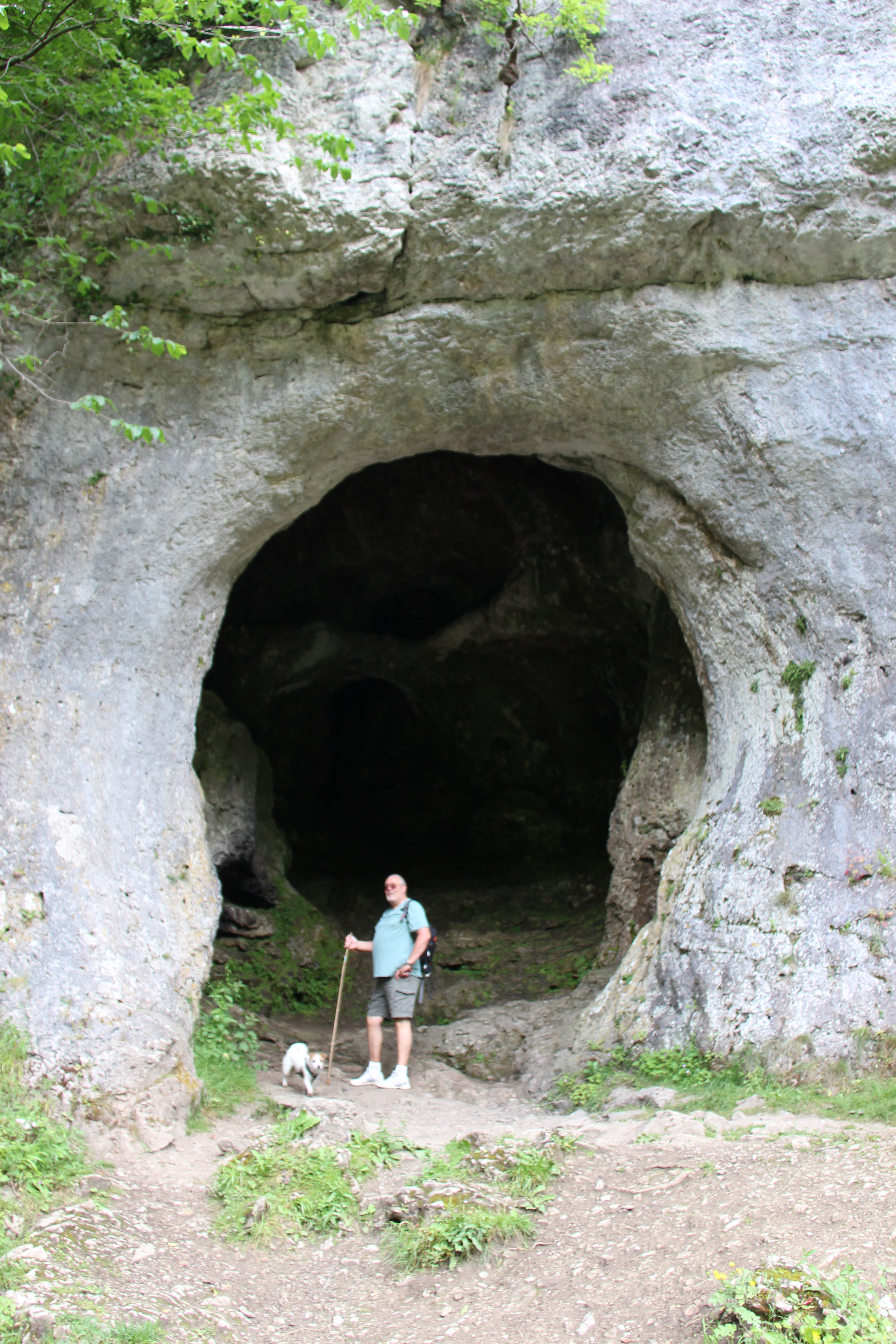
The caves were used as shelters by hunters around 13,000 BCE, and Dovedale has seen continuous human activity since. Around 4,500 years ago Neolithic farmers used the caves as tombs. There is evidence from Reynard’s Cave of Bronze Age activity and artifacts found there are displayed at Buxton Museum and Art Gallery.
Dovedale is notable for its numerous limestone formations. The most southerly named formation, Dovedale Castle, is a short distance along the river from the stepping stones at Thorpe Cloud. A set of steps accesses the limestone promontory called Lover’s Leap. The steps were built by Italian prisoners of war captured in the Second World War and are now maintained by the National Trust and the National Park Authority.
At Lover’s Leap, a young woman who believed her lover had been killed in the Napoleonic Wars threw herself from the promontory. Her skirt caught in the branches of a tree as she fell and saved her life. When she got home, she heard her lover was alive.
Opposite Lover’s Leap is a limestone formation called the Twelve Apostles. The rock spires have been created from hard reef limestone; they protrude from the valley side, and the river has eroded the rock and soil around them.
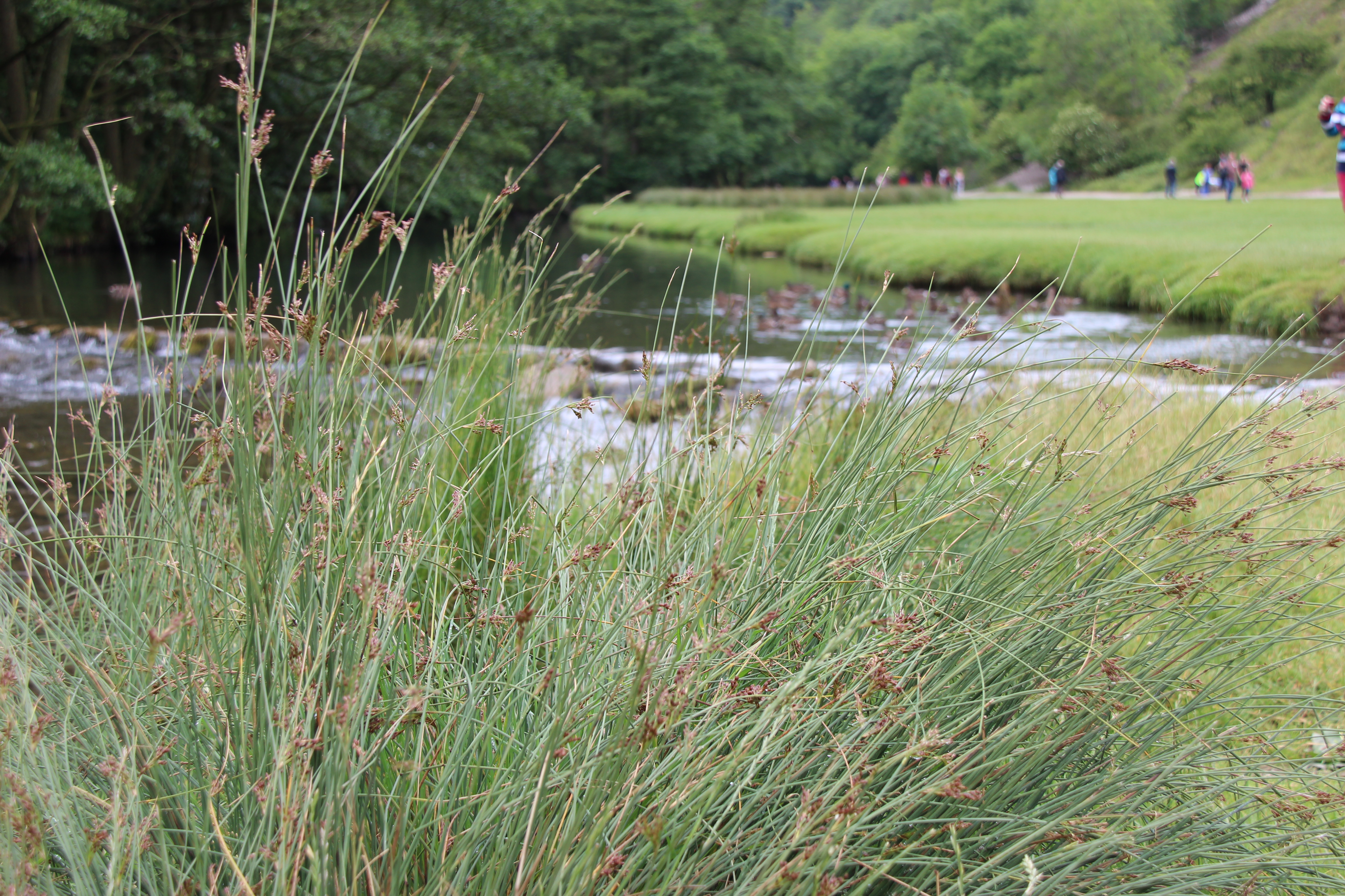
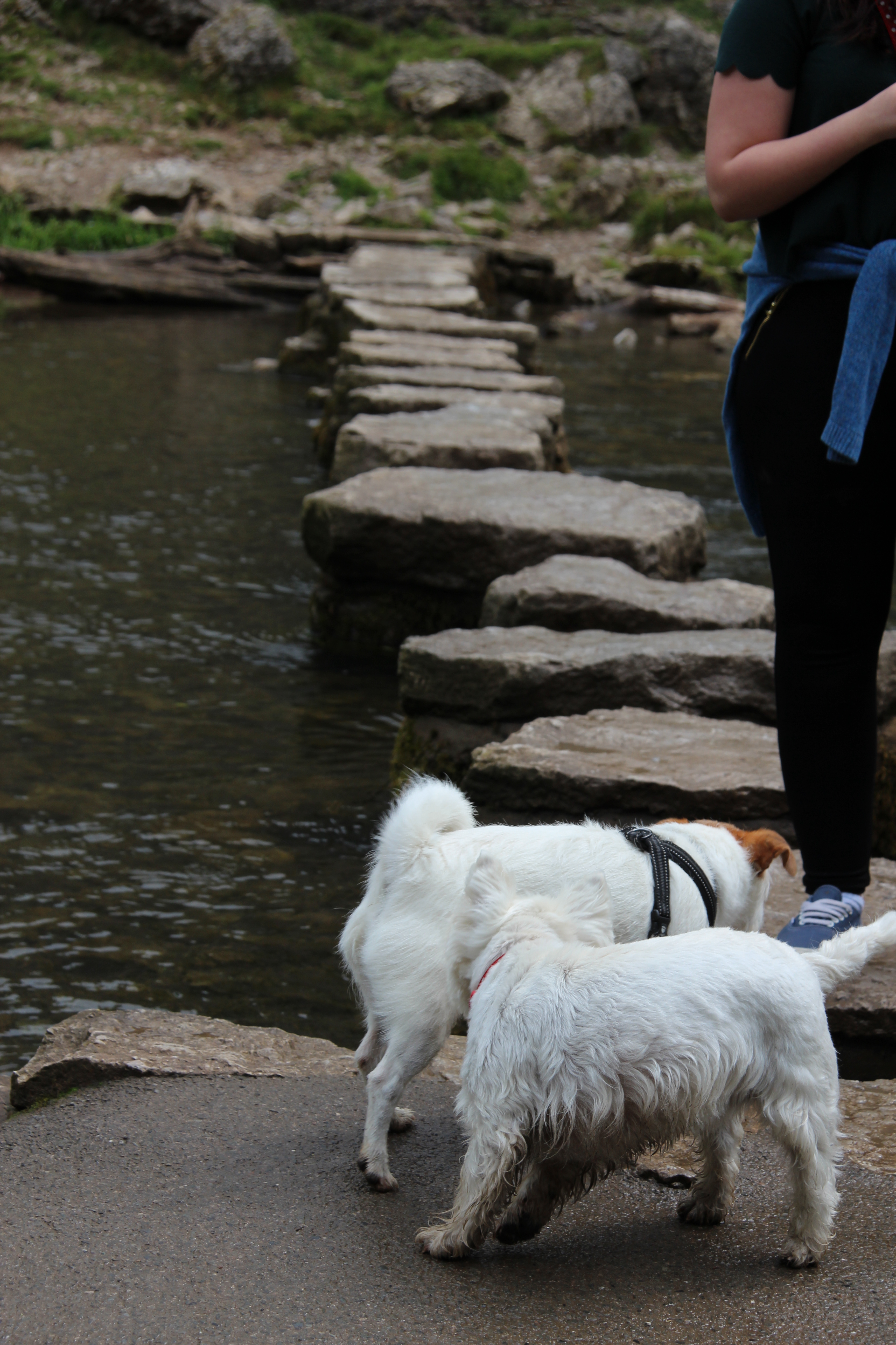
It turned out to be a very beautiful walk along the Dove river through its valley, taking in various famous rocks, caves and holes. The walk was 3 miles to Milldale where refreshment was promised so we set off looking forward to the challenge and possibly some cake at the end of it. The start of the walk was scattered with families taking advantage of the sun, walking their dogs and kids to the famous Stepping Stones. From there the population thinned out a bit and I’m sure Lover’s Leap was a turning back point for many casual family strollers. We certainly found it a struggle and were not looking forward to having to tackle it again on the way back! But along the way the caves and Ilam rock provided a fabulous backdrop to the peaks and the various meandering and tumbling of the clear water river provided a welcome distraction when needed. Milldale was welcome when we reached it but the provisions were a bit disappointing – a hatch serving light refreshment and a damp squat on a nearby bank were all the reward for our 2 hour slog, but then we had the return journey to look forward to! By the time we reached the Stepping Stones again the Peak District families were out in their hoards enjoying their ‘Sunday afternoon – walk off the roast dinner’, and the kids and dogs efforts at tackling the stones to cross the river provided some welcome entertainment in the glorious afternoon sunshine.
We went from here to Ilam Park which is just down the road. It seemed to be advertised with Dovedale as a ‘two for one package’ but the two places could not be so different. Ilam Park is typical of the ‘National Trust’ cloned old houses that have been manicured and manufactured to suit the coach tour day trippers for those looking for a tea garden and gift shop that sells stuff pricey enough to lull you into thinking you’re buying quality. We didn’t stay long and on the way home we stopped for a very pleasant drink at the Bentley Park Hotel (where Jim was amazingly well behaved).
Monday 13th July: Castleton Caravan Park
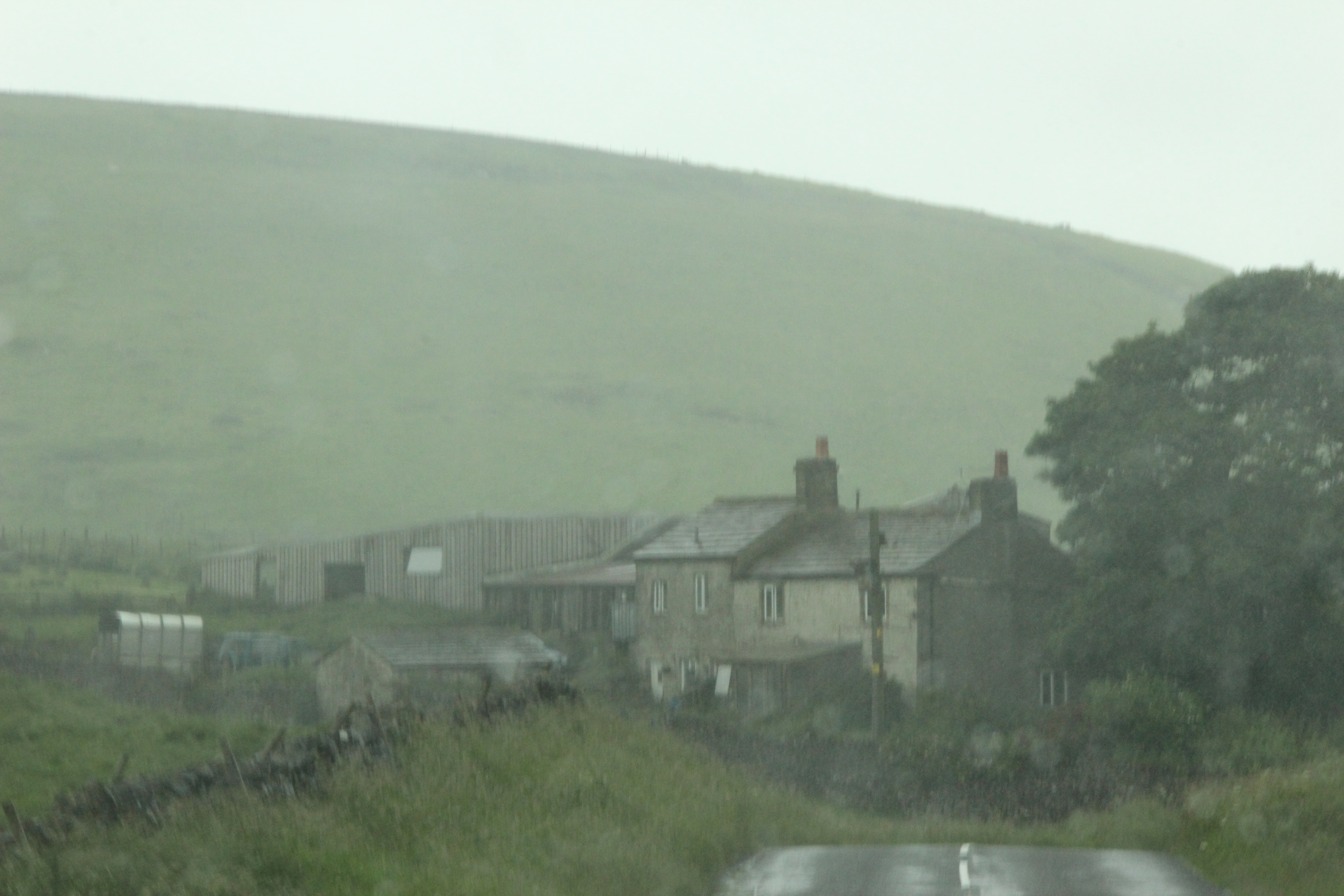
Today was moving day. Packing up and driving to Castleton in the heart of the Dales. It wasn’t that far but it was a tortuous route so took us about an hour and a half. It rained all day! Damp, drizzle, rain then greyness, then rain again. The grey stone houses along the route were a perfect backdrop to the craggy hills and low menacing clouds.
It was nice to arrive at a Caravan Club campsite – you’re immediately struck by the calm neatness and well organised air of the place. We knew we were in for quality facilities.
The rain persisted so we ventured into Castleton which I’m sure is a vibrant tourist magnet in the sunshine but looked rather deserted and desolate on a rainy Monday afternoon. It didn’t deter us from sampling some of the shops and the Castle pub before heading to Buxton to get some provisions, but we returned to the pub for a very delightful and reasonable dinner, made all the more memorable by Jim’s exemplary behaviour!
Tuesday 14th June
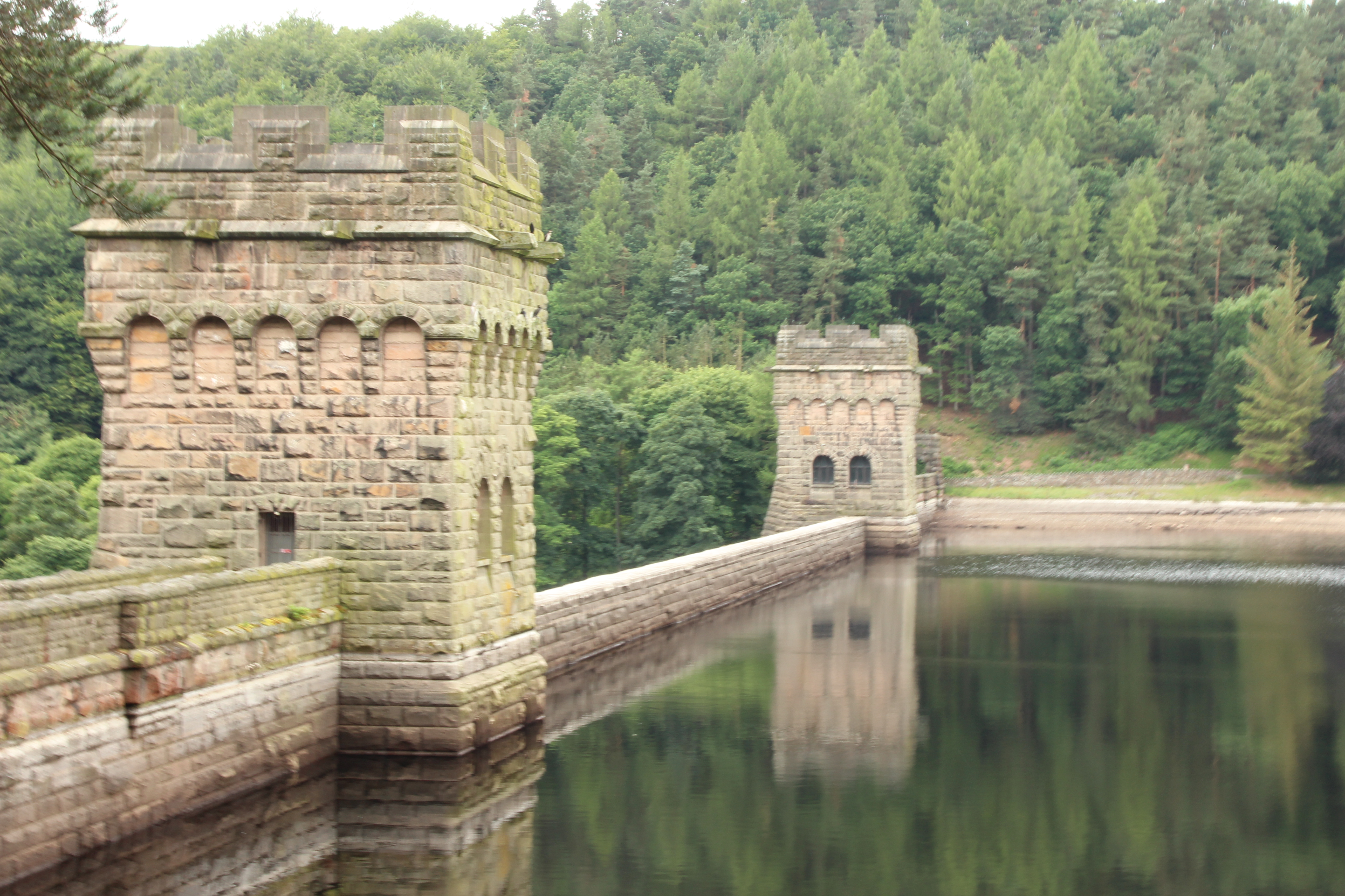
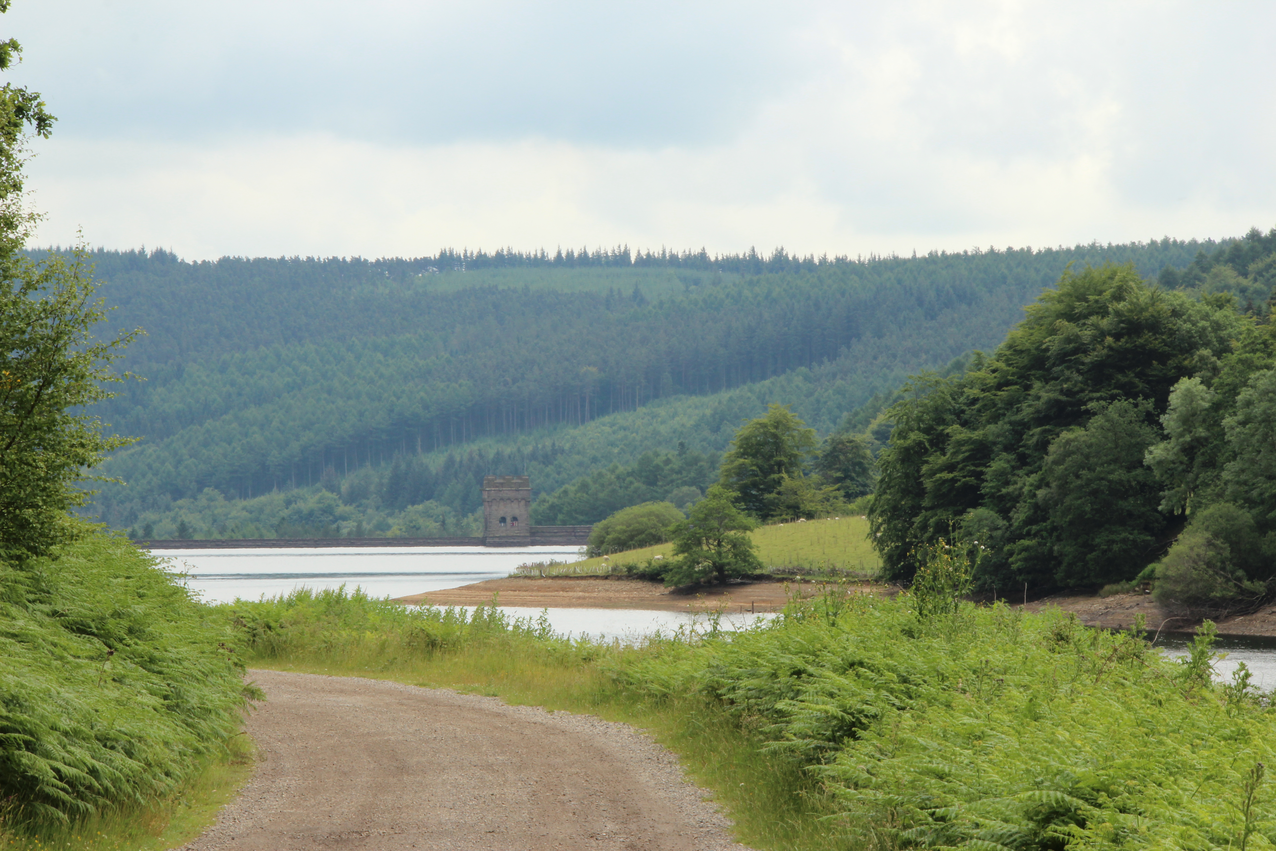
The threatened rain never materialised and in fact it quite hot and sunny as the day wore on. Today our plan was to explore the Derwent Reservoir. The reservoir is in the middle of three reservoirs in the Upper Derwent Valley. It lies approximately 10 miles (16 km) from Glossop and 10 miles (16 km) from Sheffield. The River Derwent flows first through Howden Reservoir, then Derwent Reservoir and finally through Ladybower Reservoir. Between them they provide practically all of Derbyshire’s water, as well as to a large part of South Yorkshire and as far afield as Nottingham and Leicester.

Derwent Reservoir is around 1.5 miles (2 km) in length, running broadly north–south, with Howden Dam at the northern end and Derwent Dam at the south. A small island lies near the Howden Dam. The Abbey Brook flows into the reservoir from the east.
At its peak the reservoir covers an area of 70.8 hectares (175 acres) and at its deepest point is 34.7 metres (114 ft) deep.
During the Second World War the reservoir was used by pilots of the 617 Squadron for practising the low-level flights needed for Operation Chastise (commonly known as the “Dam Busters” raids), due to its similarity to the German dams. Today there is a commemorative plaque to 617 Squadron on the dam, and one of the towers on the dam houses the Derwent Valley Museum.
We took a lovely peaceful walk along the East side of the river to Howden dam. The area was wonderful, and the dams added interest and drama to the view. We stopped for a picnic before walking back and exploring Derwent dam which seems to be the main attraction but is the closest to the visitors centre and car park.
We decided to have fish and chips for tea but the fish and chip shop was closed on Tuesdays and Thursdays – so it was slim pickings for tea!
Wednesday 15th July
We were so happy to wake up to another beautiful sunny day – pretty rare on our caravanning holidays! We were experimenting with the new George Forman grill and enjoyed bacon rolls for breakfast and then set out to explore and walk around Chatsworth.

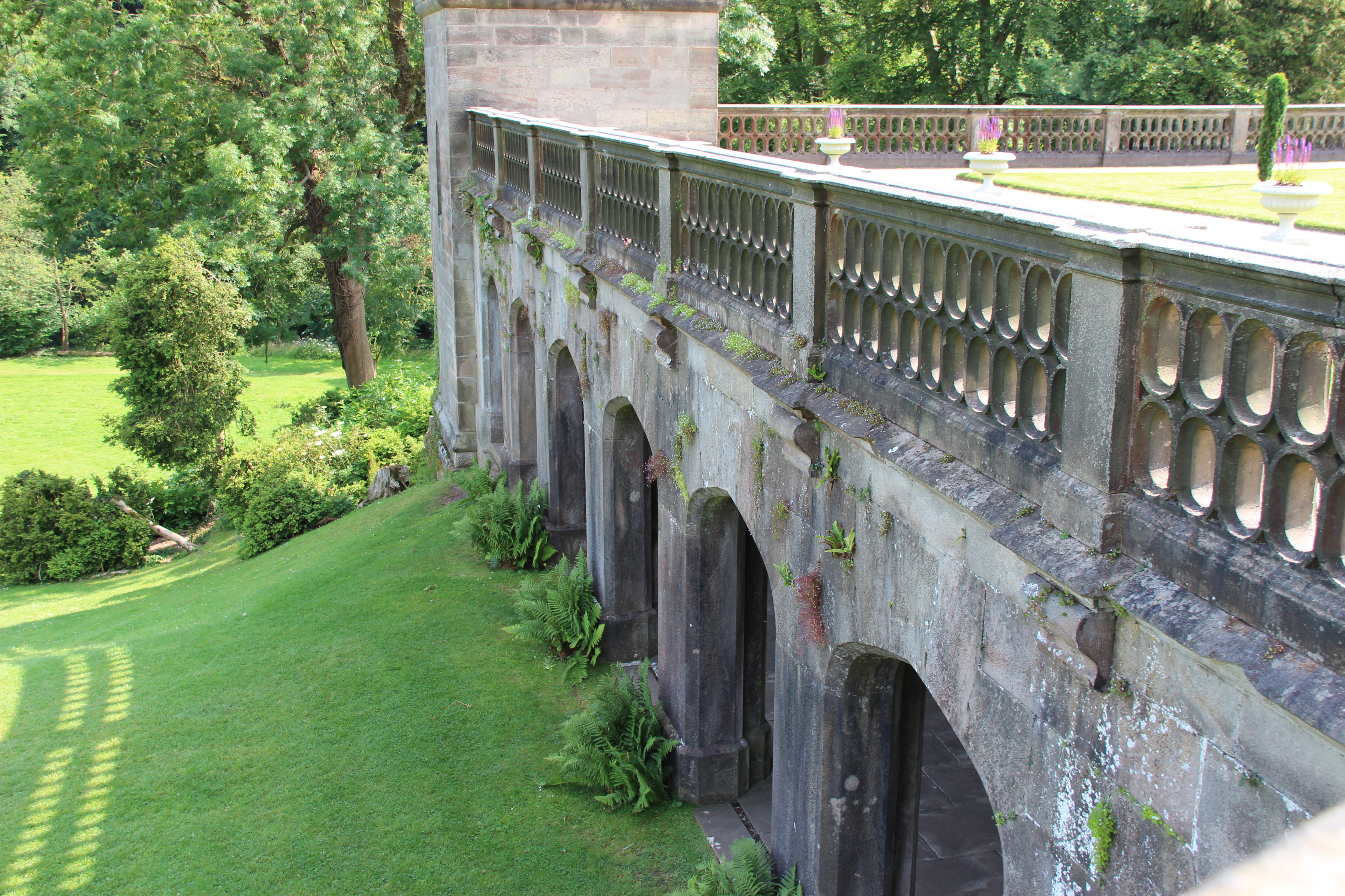
Chatsworth House near Bakewell in Derbyshire has been home to the Cavendish family since 1549 and is the seat of the Duke of Devonshire. We had planned to stay for our last night at Chatsworth Caravan site but as it was so close to Castleton we decided to stay on for an extra night and just visit Chatsworth for the day.
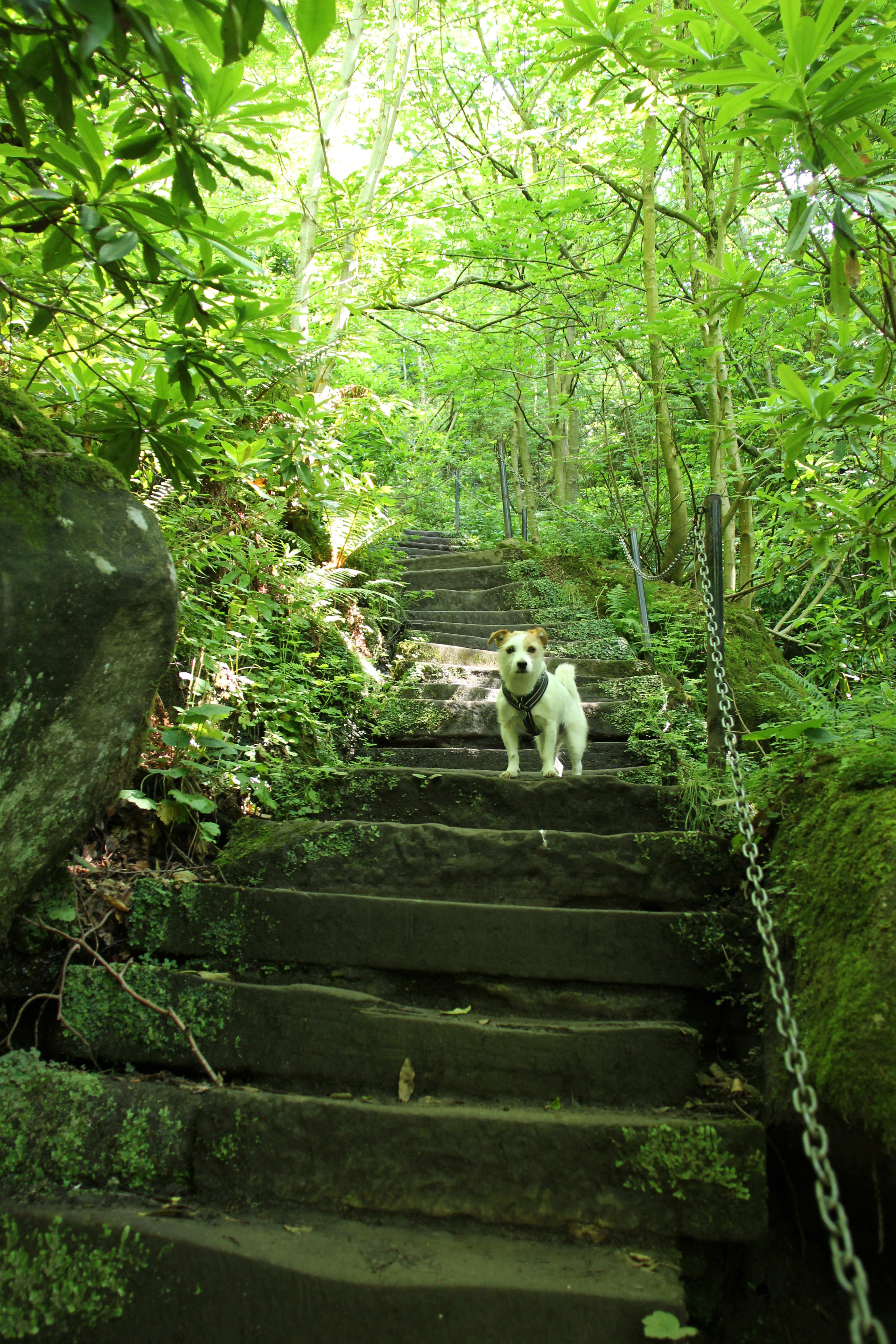
It’s a fabulously lavish and imposing country estate. After parking we walked past the petting zoo with the shrieking children and quickly left the crowds behind by walking up some enchanting but challenging steps to the lookout tower. When we got our breath back and the knee pain had subsided we were rewarded with an amazing view. From here we walked in blissful peace and solitude for a couple of hours in the woods and hills behind the main house eventually making our way downhill back to civilisation.
Of course we had to stop for a rewarding coffee and a walk round the gift shop – pleasant but expensive. The shop was set in the old stables and the stalls made an interesting backdrop to the bone china mugs and Irish linen tea towels. After the crowds we enjoyed a peaceful picnic back near the car, where picnic tables were set out under the trees.
On the way out of the car park there is a fantastic view of the house which reminded me of a favourite film ‘Pride and Prejudice’ where the house played the star part as Pemberely.
We were exhausted when we got back to the van – after all we had walked about 6 miles every day for the last 3 days, and poor Jim was now quite calm and quiet, almost like a normal dog! But the sun was still hot and it was our last day so we thought we had to visit Peveril Castle. We almost regretted it. The walk up to the ruin was practically vertical! We kept having to stop to get our breath, but once we were up there the views were amazing and I’m glad we did it. Our reward was a very nice pub supper at the George.